| Image 07
ECUADOR/REPU:
THE GUAYAQUIL GULF An enlargement of LANDSAT TM Scene 11/62 FQ2 Dated 19/08/1991 |
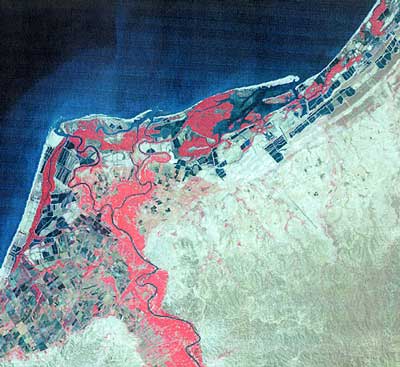 |
| Tumbes area |
| The mangrove forests of Tumbes region are the southern most mangrove distribution of the Pacific coast (3o to 5oS ) thriving in an almost arid environment. It is clear on this image that most of them have been converted to shrimp ponds or salt pans. |
|
Prepared by Ms. Marie Aizpuru, and provided by Prof. François Blasco,Laboratoire
d'Ecologie Terestre(LET), Toulouse, France, for ISME |